 Is There an App?

CalTopo: Backcountry Mapping
by CalTopo LLC
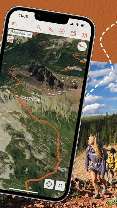
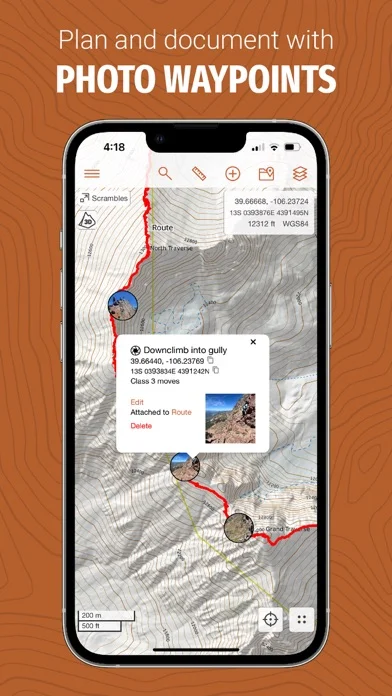
Plan outdoor trips with layered maps, download maps for offline use and share live location updates on collaborative maps.
What it does
Plan outdoor trips with layered maps, download maps for offline use and share live location updates on collaborative maps.
Pricing: is CalTopo: Backcountry Mapping free?
US App Store download: Free (USD), checked 2026-09-23. The full pricing model, in-app purchases and subscription requirements have not been verified.
Screenshots
Developer-provided iOS screenshots.
Features
Cross-device map sync
Access and update the same maps on the web and mobile with automatic synchronization.
Developer’s App Store feature description (iOS)Offline maps and layers
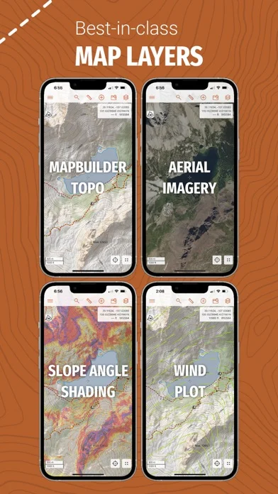
Download maps and layers such as slope-angle shading for use beyond connectivity.
Developer’s App Store feature description (iOS)GPS location and tracking
View and track current location on the map with GPS while offline.
Developer’s App Store feature description (iOS)Collaborative and live maps
Share planning maps and monitor supported live field updates on shared maps.
Developer’s App Store feature description (iOS)Backcountry layer catalog
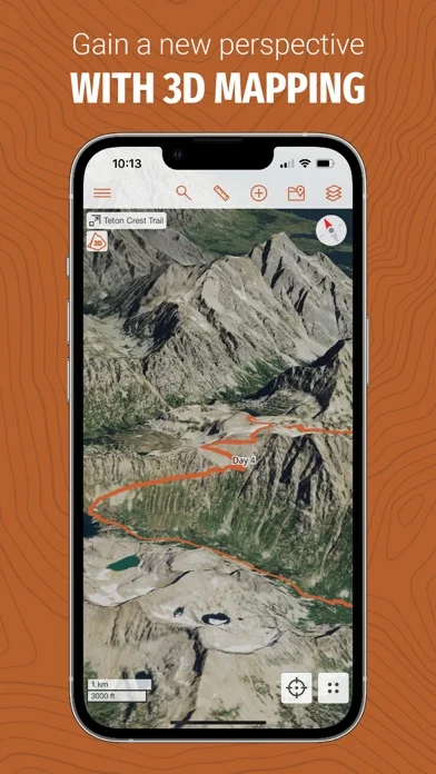
Use topographic, imagery, terrain, parcel, weather, snow, fire, marine, and other documented map layers.
Developer’s App Store feature description (iOS)Sources & verification
- CalTopo: Backcountry Mapping: developer's App Store listing (US)Primary source
- Developer’s App Store feature description (iOS)Primary source
Last verified: 23 September 2026. Features not listed here may be unverified.
Are you the developer? Claim this listing →